Some Portsmouth Residents Concerned About Adding CRMC-Designated Coastal Access Points
April 25, 2022
Share
PORTSMOUTH, R.I. — Aquidneck Island residents could find themselves with more points of access to the shore this summer.
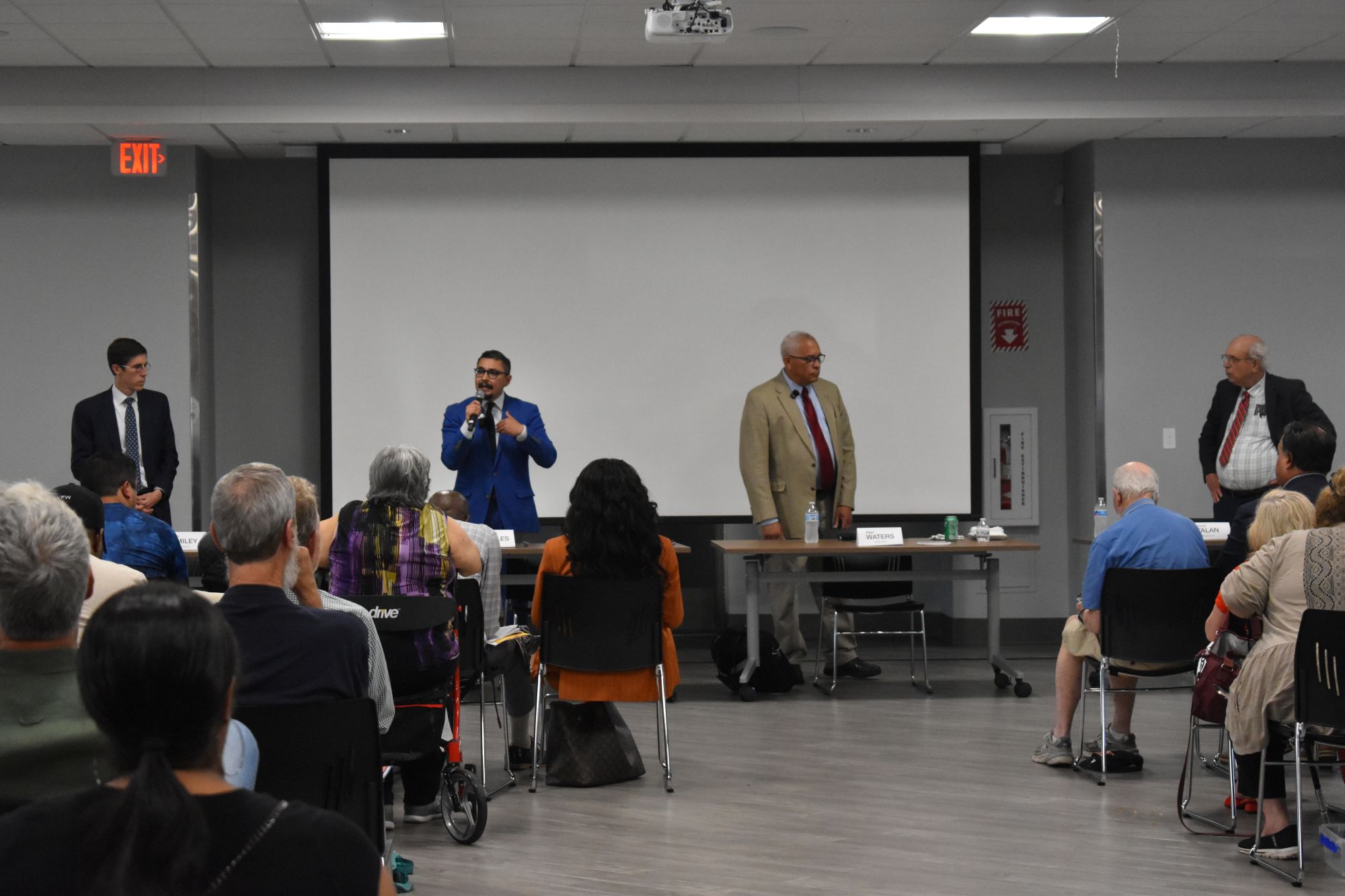
The Coastal Resources Management Council’s (CRMC) Rights-of-Way Subcommittee recently held its first public hearing to consider designating five coastal public access points in town. The five sites, at Beach Street, Cedar Avenue, Fountain Avenue, East Power Street and Corys Lane, would give the public access to beaches on the Sakonnet River, Blue Bill Cove and eastern Narragansett Bay.
Many of the access points already carry right-of-way (ROW) signage by the town, but residents said they are concerned a CRMC-designated coastal access label would attract bigger crowds and rowdier out-of-towners.
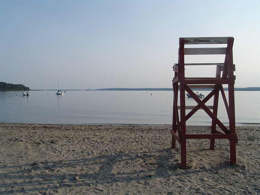
“This is a busy spot already,” said Philip Young, a homeowner on East Power Street, near one of the access points under consideration. “When you put it on your CRMC map, it may turn into another McCorrie Point.”
McCorrie Point Beach at the end of McCorrie Lane is on the Sakonnet River.
Young also warned subcommittee members that increased traffic could overwhelm street parking on East Power Street near the proposed right of way. “The use can be very heavy and could become heavier if the CRMC puts the town ROW on their website,” he said.
The five rights of way under consideration in Portsmouth are supported by Save The Bay, according to Narragansett baykeeper Michael Jarbeau.
While the Ocean State’s south shore is known for fights over lateral coastal access, Aquidneck Island is almost as well known for battles over rights of way between residents and tourists. During a lateral shoreline access commission public comment meeting last year, Barrington resident and shoreline rights advocate Ken Block testified at length about how far some towns have gone to restrict beach access to locals only.
According to Block, Barrington blanketed roads leading to six separate shoreline access points with “no parking” signs. The town issued 352 parking tickets between June 2019 and June 2021 on streets with rights of way, he said.
Barrington officials have cited safety concerns on the narrow streets with no parking signs, and have advised beachgoers to park at the town beach instead. Critics of Barrington’s policy said the streets are wide enough to park safely, and they have noted a lack of handicap-accessible parking spots at the access points.
It’s an issue left unsolved by the General Assembly’s latest shoreline access commission decision. The final report and legislation (H8055) introduced into the House only defines lateral access — the right to travel along the shoreline without trespassing on private property — and ignored the issue of perpendicular access, or how a person gets to the shore without trespassing.
Part of CRMC’s role in shoreline access is designating specific rights of way. The agency is quick to stress it does not create new rights of way, or make determinations as to who owns the land the access point sits on. Municipalities are encouraged to create their own designated rights of way. A CRMC-designated right of way allows the state to pursue legal action against individuals that block or impede public access.
CRMC has identified 400 possible coastal access points across Rhode Island, and awarded agency designations to 230 as of last fall. The agency has a goal of one designated right of way per mile of Rhode Island shoreline, or around 420 coastal access points.
Portsmouth officials pledged to forward more access points to CRMC.
“Our intention is to go forward in however many years to try and get two or three ROWs approved every year,” Portsmouth Harbor commissioner Abigail Brown said. “There’s a lot in the town of Portsmouth that has been neglected up to this point.”
She noted it did not hurt the town to have a CRMC designation on rights of way.
CRMC’s ROW subcommittee has said it will forward a recommendation for a vote of the full council later this year.
Categories
Join the Discussion
View CommentsRecent Comments
Leave a Reply
Related Stories

Your support keeps our reporters on the environmental beat.
Reader support is at the core of our nonprofit news model. Together, we can keep the environment in the headlines.
My concern is trash. I understand that this signage doesn’t mean a new access point has been created. However, if the result is more visitors, I am not in favor unless the town stays on top of the trash situation. I am doubtful the town will do that as they are unable or unwilling to do it now. One of the potential spots for a new sign is Corys Lane. I’ve cleaned up Corys Lane a few times in the past couple of years and have filled multiple large trash bags each time.