22% of R.I.’s Waterbodies Impaired by Pollutants
Upper Narragansett Bay and Mount Hope Bay show water-quality improvement
October 12, 2020
Share
Rhode Island has 890 waterbodies that state agencies and their partners monitor for quality. Of these, 39 percent are stressed by pollution or unwanted guests.
The federal Clean Water Act requires states to assess the overall quality of waters in their state. Historically, the Rhode Island Department of Environmental Management (DEM) has summarized the overall water quality of the state in a biennial (every even year) report titled “State of the State’s Waters” — also known as the Water Quality Monitoring and Assessment Report.
DEM’s Office of Water Resources assesses the quality of Rhode Island’s surface waters by comparing available monitoring data against the state’s established water-quality criteria to determine whether each waterbody is suitable for such uses as swimming, a primary contact recreation; kayaking/paddling, a secondary contact recreation; fish/shellfish consumption; and aquatic life/habitat.
Each waterbody is placed into one of five classifications: Category 1, attaining all water-quality standards for all designated uses; Category 2, attaining some of the designated uses and insufficient data available to determine if the remaining uses are attained; Category 3, insufficient data available to determine if any designated use is attained or impaired; Category 4, impaired or threatened for one or more designated uses but doesn’t require development of a restoration plan (there are three subsets: A, plan has been competed; B, other pollution control measures are expected to result in attainment; C, impairment not caused by pollutant but by an invasive species or diminished flow); and Category 5, impaired for one or more designated uses by a pollutant(s) and requires a restoration plan.
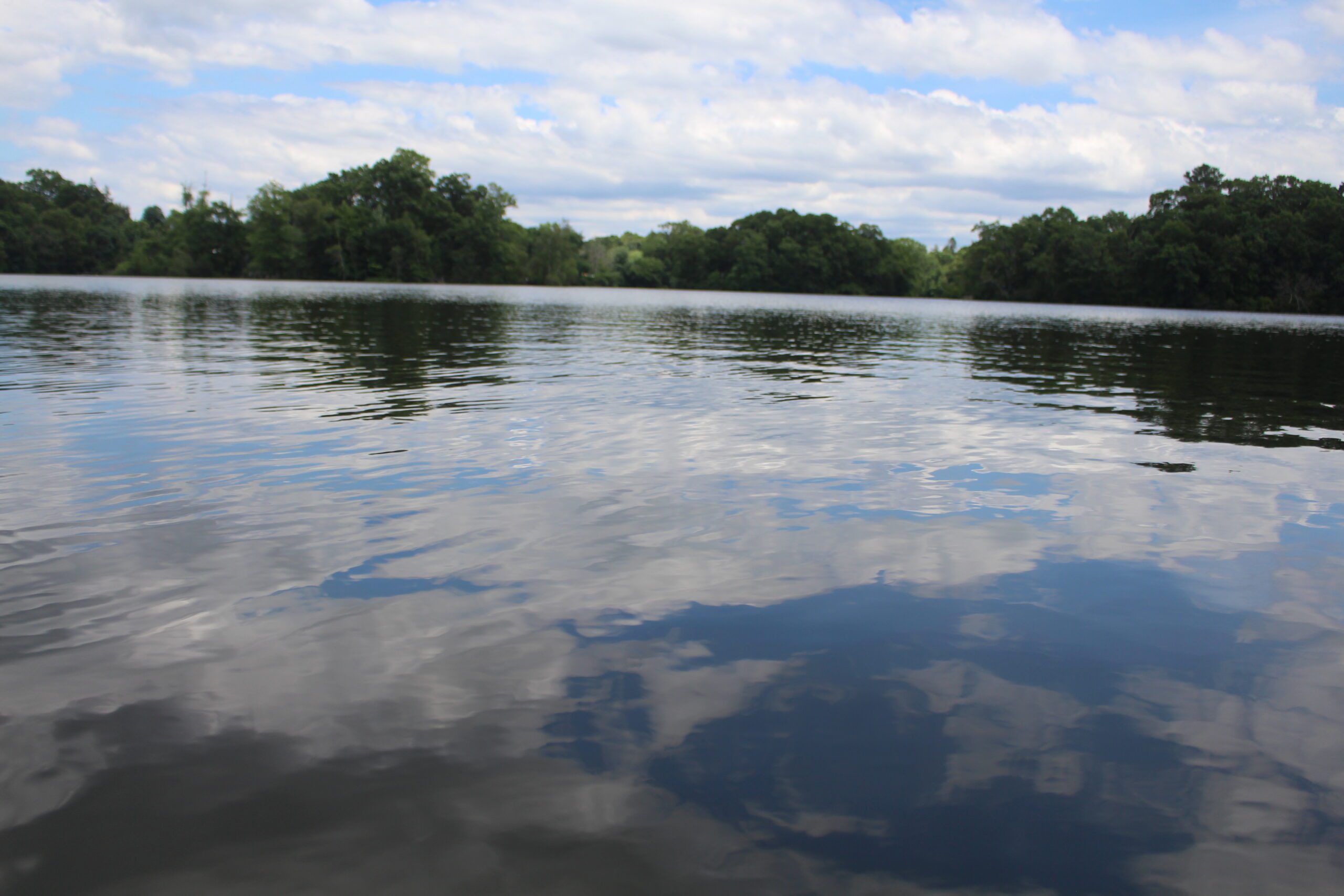
Rhode Island has an abundance of water resources that need to be monitored and protected. These waters support a variety of uses, such as drinking water, recreation, habitat, and commerce. The state has 1,376 miles of rivers, 18,693 acres of lakes and ponds, about 15,500 acres of freshwater swamps, marshes, and bogs, and close to 72,000 acres of forested wetlands. Estuaries, including Narragansett Bay, cover nearly 160 square miles. Underlying the state are 22 major sand and gravel aquifers.
Of that, 80 percent of the river miles, 82 percent of the lake and pond acres, and 98 percent of the estuarine waters have enough data available to assess at least some of their designated uses. Of that, 751 miles of assessed river are impaired, 11,040 lake and pond acres are impaired, and 57 square miles of estuary are impaired.
About 90 percent of the state’s groundwater is considered suitable for drinking water use, according to DEM, as 26 percent of Rhode Island’s population depends on groundwater for their water supply.
During an Oct. 6 online presentation, DEM representatives Heidi Travers and Jane Sawyers discussed the process and the general findings of the 2018-2020 assessment. They said the goal of this work is to make every waterbody fishable and swimmable.
Part of the biennial report involves DEM identifying surface waters that don’t meet water-quality criteria for which a water-quality restoration study known as a Total Maximum Daily Load (TMDL) is required. These waters are placed on the state’s impaired list. Among the new waters added to the 2018-2020 impaired list are Buckeye Brook, the tributaries to Warwick Pond, and the nine reservoirs that make up the Newport Water System: North and South Easton ponds, Gardiner Pond, Paradise Pond, Sisson Pond, Lawton Valley Reservoir, Nonquit Pond, Watson Reservoir, and Sisson Pond. The Newport Water System has been under stress for the past several years. The water coming out of customers’ taps is safe to drink.
In all, 198 of Rhode Island’s 890 waterbodies are listed as Category 5 impaired waters (22 percent), including Echo Lake (non-native aquatic plants) and Slatersville Reservoir (lead, copper, and non-native aquatic plants) in Burrillville; Scott Pond (copper, dissolved oxygen, and phosphorous) in Lincoln; Silver Lake (dissolved oxygen and phosphorous) in South Kingstown; Lily Pond (enterococcus and phosphorous) in Newport; Greenwich Bay and Warwick Cove (nitrogen, dissolved oxygen, and fecal coliform); Greenwich Cove (nitrogen and dissolved oxygen); Wickford Harbor (dissolved oxygen); the Pawcatuck River (enterococcus); and the Seekonk and Providence rivers (nitrogen, dissolved oxygen, and fecal coliform).
DEM also identifies waterbodies that can be removed from the list of impaired waters, because available monitoring data show that water quality has improved in one or more areas. Among the waterbodies showing improved quality and proposed for removal from sections of the 2018-2020 impaired waters list are four noteworthy waters: the Blackstone River (phosphorous), portions of upper Narragansett Bay (fecal coliform), the Wood River (copper), and Mount Hope Bay (fish bioassessments). For the delisting document, click here.
Travers said the delisting was a result of stringent permitting, investment in pollution abatement infrastructure and practices, and, in the case of the Rhode Island waters of Mount Hope Bay, the closing of the Brayton Point Power Station in Somerset, Mass.
“It takes lots of years of hard work and funding infrastructure to get waterbodies delisted,” she said.
Public comments on the draft list of impaired waters (Category 5) will be accepted until Oct. 30. Comments can be emailed to Travers at [email protected].
For the complete list of the 890 Rhode Island waterbodies, from Category 1 to Category 5, click here. A total of 348 waterbodies are classified as either Category 4 or 5 waters.