When the Sea Comes to Claim the Past: Climate Change and Coastal Archaeology
September 12, 2021
NARRAGANSETT, R.I. — As the photos and videos streamed in from South County, Tim Ives remembers thinking this might define his career.
Waves crashing into the shore and over asphalt roads. Winds gusting at nearly 90 mph. Storm watchers — brave, naïve, or both — nearly swept from beaches. It didn’t look good.
But a self-proclaimed “worst-case scenario thinker,” Ives dismissed Superstorm Sandy just as quickly. Nothing to worry about, he thought.
The call came from Block Island a day later. Corn Neck Road was half-crumbling into the sea, severing the link between New Shoreham’s north and south sides.
“The road was gone,” Ives recalled, “and what we were staring at was an archaeological site.”
Before roadwork could commence, Ives — the principal archaeologist with the Rhode Island Historical Preservation & Heritage Commission — and the Narragansett Indian Tribal Historic Preservation Office needed to be sure that nothing of cultural or archaeological significance would be impacted.
With the island’s main artery blocked off and emergency vehicles trapped to one side, they needed to move fast, Ives said. He coordinated a small dig to “cut through the red tape,” survey the site and check the boxes mandated by federal law.
But that, Ives said, was only “the beginning of the madness.”
Pages in a book
Coastlines are used to steady change, slow cycles of erosion and revegetation. They have a “self-healing mechanism,” Ives said, that stabilizes the shores and, as a byproduct, keeps the region’s archaeological record safely buried.
But in late October 2012, Sandy stripped away that protective layer and exposed huge expanses of compact black dirt — the old coastal terrain. Artifacts dating back more than 4,000 years — from revolutionary-era French coins to rings of “fire-reddened” stone to quartz projectiles and chipping debris — were suddenly sitting in the open.
“I could literally walk and find piles of stone that someone had worked thousands of years ago,” Ives said. “They had made a tool and left the pile where they were working — the pile was still sitting there sticking out of the top of the dirt.”
Ives, too young to have witnessed the region’s mid-20th-century hurricanes and astounded by the scene, recognized the silver lining.
“When these coastal storms hit …,” he said, “they give us a timed opportunity to get in there and add more pages to the human story that we didn’t know had been written.”
In January 2013, less than three months after Sandy struck, Congress granted $50 million from the Historic Preservation Fund to be distributed for post-storm preservation projects in 12 states, including Rhode Island. Ives began organizing the largest and most comprehensive survey of coastal archaeology in the state.
Archaeologists contracted by the state and coordinated by Ives walked nearly the entire southern coast of Rhode Island, from Narragansett Pier to Napatree Point in Westerly. They documented 34 storm-damaged archaeological deposits, 30 of which merited further evaluation, and dug more than 450 test pits to better locate artifact clusters.
On Block Island, Sandy was a game changer, according to Ives. Narragansett oral histories detail ancestors on the island more than 15,000 years ago. European chronicles tell of nightfall fires that lit up the whole edge of the island. But gaps in the archaeological record meant these stories were unsupported.
Through the survey, the team identified 163 exposed deposits all around the island, including on Corn Neck Road. Pressed for time and funding, the archaeologists tested 20 percent of the deposits and excavated nearly 600 test pits in locations scattered around New Shoreham.
“We didn’t realize that the entire coastline was basically one nonstop archaeological site — but it is,” Ives said.
The survey allowed archaeologists to build up a knowledge base far greater than that yielded by haphazard finds and sporadic surveys over the years.
“It allowed us to test our assumption, our predictive model,” said Joseph “Jay” Waller, senior archaeologist with the Public Archaeology Laboratory, who contracted on the survey.
With the Mashantucket Pequot Museum and Research Center in Connecticut, they built out their models and developed a comprehensive geographic information system (GIS) data set of coastal sites, Waller said. They overlaid photos onto maps and consulted aerial imagery dating back to 1939 to understand the scale of erosion and provide a comparison for the future. They also were able to determine priority sites, those that should be first up to survey should another storm hit.
It was extremely valuable in adding knowledge to the history books, but it was also bittersweet, Ives said, “especially realizing what we had and that the clock is ticking.”
A wake-up call
Superstorm Sandy delivered a message to coastal archaeologists, Ives said. The storm made it clear in this era of climate change that researchers needed to “get their acts in gear and move quickly.” It was responsible for launching a conversation about the complicated interplay of sites, sea-level rise and intermittent storm damage.
“People tend to think rapid sea-level rise is bad,” Ives said. “Well, it’s bad for humanity, [but] rapid sea-level rise is actually fantastic for archaeological preservation.”
It’s a great irony, he added. The more rapid the rise, the more likely historical sites and modern infrastructure alike are to make it into the future intact.
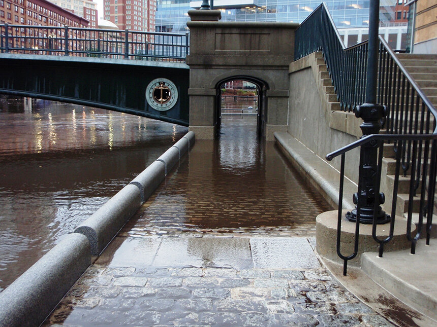
If the whole of Providence was submerged instantaneously 50 feet underwater, Ives said by way of example, everything would be preserved. The sidewalks, the gardens, the signs. All would be protected, under the sea and under cumulative layers of sill.
If waves rose up 1.5 inches year by year, if storms grew more frequent and more intense — as projected by the latest Intergovernmental Panel on Climate Change report — “that record would get ripped apart ferociously,” Ives said. That constant barrage of wind and wave would strip down the dunes, plunder the past again and again.
The forces at play in coastal archaeology aren’t quite as simple as total destruction or total preservation, according to Ives.
“It’s not like the coast is this monolithic strip that is all destroyed as a hurricane hits it,” he said. “It’s extremely biased depending on the land, the soil type and the topography.”
These factors dictate where land erodes and where it accretes, which sites will be lost and which will be “very quietly hidden.” When Sandy hit, it “sort of scalped” the coast’s moderate-high points. The topsoil and sand pulled from those areas blanketed the shore’s low points. As seas rise, those freshly protected dips will have a shot at making it underwater intact, and thus be preserved.
It is a process that’s happened before. Some think of climate change and sea rise as a new thing, Ives said, but “we’ve been losing coastline steadily for a long time.”
The past and the future
In the post-industrial age, climate change and associated sea-level rise are being accelerated by human activity. But long before society gained the tools and technology to burn fossil fuels and spew carbon dioxide into the atmosphere, humans confronted the realities of a warming world.
“This isn’t our special challenge,” Ives said. “The Native Americans dealt with climate change for thousands of years before we came. This is all part of a continuum.”
Myths of great floods are embedded in cultures around the world, each with its own variation, but some theorize that many are rooted in reality. As glaciers melted at the end of the last ice age, roughly between 18,000 and 6,000 years ago, Waller said, the sea level rose — and it rose fast. By some estimates, the seas would have risen more than 3 feet per century.
With settlements long concentrated on the coastline, the upward creep of the tides would not have escaped human consciousness, Ives said. Throughout a few generations, the waterline would have risen up and over familial fishing spots and features in the landscape.
“I don’t think that there is any mystery to the fact that flood stories, you know, go back 4,000 years all over the place because people grew up seeing the ocean taking their favorite places by the coast,” Ives said.
But back then, Waller noted, sea-level rise wouldn’t necessarily have posed such an intrinsic threat to the “established pattern of life.”
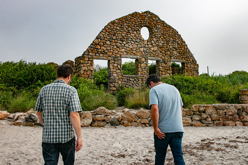
“Now the issue is because you’re looking at this,” said Waller, pointing to the road, homes and condominiums just a few hundred feet back from the waves crashing on Scarborough State Beach during a mid-July weekday. “You’re looking at all the structures, infrastructure — everything is going to be impacted.”
The present
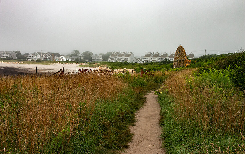
Nearly 10 years on, the damage from Superstorm Sandy is mostly tucked away under new pavement and seawalls. But on the south-facing, wave-roughed edges of the Black Point Fishing Area, Waller and Ives still witness the steady spillage of artifacts into the sea.
Ives peers into a pile of sand freshly dumped from a grassy bluff onto the beach. The area is strewn with artifacts, mostly chips leftover from the knapping of quartz cobbles into projectile manufacturing that date back 3,000 to 4,000 years ago — though the date is uncertain without digging.
He reaches down and picks up a small quartzite biface, a tool that was chipped down on both sides to form a point. Someone put some work into this and potentially hafted it long ago, Ives said.
“It’ll be in the ocean after the next rain,” he said. “It’ll make its way down this hillside.”
Both archaeologists are waiting on the next storm — on the funding and the finds it might bring — and on the bittersweet opportunity to add another page to the history books before it is too late.
“Archaeological sites are finite resources,” Waller said. “You cannot go back and create another site that was occupied 5,000 years ago. Once it’s lost, it’s lost.”

Fascinating story. Thank you!