Providence Commission Recommends Slower Traffic, More Bike Lanes, Less Parking
July 26, 2016
PROVIDENCE — The city’s Bicycle and Pedestrian Advisory Commission (BPAC) is adjusting to a greater workload. In May, Mayor Jorge Elorza signed an executive order requiring that all significant street and sidewalk repair or construction projects go before the commission for review during conception and design phases. The new process gives the commission and the public greater opportunity to make recommendations on specific projects early enough to ensure they are considered and, if appropriate, incorporated.
At July’s meeting, BPAC’s volunteer commissioners reviewed three projects as a direct result of the executive order: the restriping of Olney Street, the restriping of Allens Avenue, and a mid-block pedestrian crossing on Francis Street connecting the Providence Place mall and Station Park. Prior to the meeting, the city’s department of Planning & Development received plans for the projects and generated a staff report with preliminary recommendations concerning bicycle and pedestrian safety. The plans and staff report were forwarded to the commissioners for consideration.
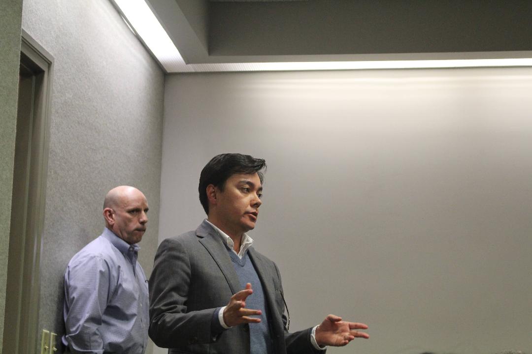
At the meeting, the commissioners and Martina Haggerty, the department’s staff person assigned to support BPAC, discussed further improvements that could be included in BPAC’s final recommendations. During the discussion, the commission used a laptop and projector to investigate the official plans, and zoomed in on specific areas of concern using Google Maps. At times, Google Street View was used to determine parking conditions on Olney Street or to show the current conditions of a poorly striped intersection on Allens Avenue.
After discussion of each project, the commissioners reviewed and voted to approve their official recommendations. The recommendations are given to the Department of Public Works (DPW).
While the commissioners are appreciative of being included in the design process of significant projects, the responsibility came at the cost of most other agenda items at the July meeting. Potential bicycle and pedestrian safety improvements to Tobey and Ridge streets on Federal Hill, or to the streets surrounding the city’s Link District — the land made available by the relocation of Interstate 195 — were tabled because neither project is impending. At least one person who attended the meeting did so specifically to contribute feedback on an agenda item that wasn’t discussed.
Near the end of the meeting, when it became clear that some agenda items wouldn’t be addressed, the commissioners and Haggerty discussed extending the duration of the monthly, hour-and-a-half meeting in the future, or holding “emergency meetings” to keep up with the increased workload. With each project coming before BPAC twice, once during the conception phase and later during the design phase, the workload could become even greater.
Here is a rundown of the recommendations approved by the commissioners on the three projects reviewed at the July meeting:
The DPW intends to restripe Olney Street from Camp Street to Hope Street, a relatively wide section of road near a public elementary school and high school. The commissioners recommended expanding the scope of the project to include Olney Street from North Main Street to Hope Street. They recommended adding bike lanes in both directions from Hope Street to Prospect Street. From Prospect to North Main, where the road narrows to 37 feet in places, they recommended adding bike lanes in both directions if on-street parking can be eliminated. If not, they recommended a bike lane in the uphill direction, traveling away from North Main, and shared-lane arrows in the downhill direction.
Parking in this stretch is in low demand because most residential homes have off-street parking. Those at the meeting agreed that removing parking in this area would disrupt convenience, not need.
“If it’s determined that parking cannot be removed to accommodate a second bike lane (on Olney Street) we really need to examine the weight we are giving parking verses biking. There are few places in the city that have the combination of high need for bike lanes, low parking demand and the width that Olney (Street) does,” commissioner Alex Krogh-Grabbe said. “If we have to keep parking on (Olney Street) and have a sharrow instead (of a bike lane), there is no place (in the city) where that is not going to be the case.”
Natale Urso, deputy city engineer for the DPW, recommended formulating data-driven recommendations to help guide decisions on projects where bike lanes and parking compete for limited street space. The commissioners recommended traffic-calming measures at the intersection of Olney Street, Camp Street and Brown Street. The intersection is wide, and traffic moves fast on this stretch of road, making it challenging to cross by foot, bike or car, according to some commissioners.
Adding more paint and signage to the intersection to better define it for drivers, or changing the intersection from a two-way to four-way stop were both discussed. Urso agreed to vet the four-way stop recommendation. The commissioners also recommended adding bike boxes at the intersection of Hope Street and Olney Street, to make left-hand turns at the intersection safer for bikers.
The Rhode Island Department of Transportation (RIDOT) has developed preliminary plans for the restriping of Allens Avenue from Blackstone Street to New York Avenue. This stretch of road is mostly industrial, but is considered a key bike corridor that links Johnson & Wales University’s downtown and bay campuses, as well as Edgewood and Pawtuxet Village in Cranston and downtown Providence. The road already includes bike lanes, but they aren’t regularly swept, cross unused streetcar tracks that snag tires and aren’t well marked, resulting in drivers mistaking them for parking or travel lanes.
The commissioners recommended lowering the speed limit from 35 mph to 25, improving pedestrian and bike striping within intersections, adding more bike-lane stencils and signage to signal the purpose of the lanes to motorists, and covering or removing the streetcar tracks.
South of Ernest Street, where the road becomes residential and is lined with small businesses, the commissioners recommended narrowing travel and parking lanes to accommodate a buffer for the existing bike lane to move bikers out of the door zone of parked cars.
North of Ernest, there is practically no demand for on-street parking, according to Urso. There, the commissioners offered two alternative recommendations. The first is a bi-directional, separated bike lane on the east side of Allens Avenue. The bike lanes would be separated from traffic by a physical barrier, such as a curb, planting strip or plastic bollards.
This recommendation is feasible because of the low number of intersection crossings, according to Haggerty. Where the bike lanes would cross an intersection or driveway, signage and striping would need to be included to ensure drivers know to look for bicyclers. The design would also require new, bike-specific signals at intersections, and consideration of how to efficiently move southbound bikers to and from the east side of the street at the beginning and end of the bi-directional bike lane.
The second alternative is to add a bike lane buffered from traffic by paint to each side of the road.
The commissioners also recommended partnering with Johnson & Wales University or businesses along Allens Avenue on streetscape improvements such as tree plantings.
RIDOT has developed preliminary design plans for a new mid-block crossing of Francis Street between Gaspee Street and Finance Way, to improve pedestrian safety between the Providence Place mall and Station Park. Haggerty noted that this particular project isn’t currently funded.
The commissioners recommended bumping out the curb on the mall side of the street to reduce the crossing distance for pedestrians, and create more sidewalk space for an improved bus stop. The commissioners also recommended widening the scope of the project to include the intersection of Francis and Gaspee streets. There, they recommended bumping out the curb on the mall side of Francis Street to reduce the crossing distance for pedestrians.
They also recommended designating the right, northbound lane, of Francis Street as a right-turn-only lane and the left northbound lane as a straight-and-left-turn-only lane. Furthermore, they recommended narrowing a wide pedestrian-refuge island between the northbound and southbound lanes on Francis Street, to make space for a short bike lane between the two northbound lanes leading up to and through the intersection to make crossing the intersection safer for bikers.
Additionally, the commissioners recommended writing a letter to DPW and the planning department to request that they and RIDOT conduct a safety audit for the intersection of Francis and Gaspee streets.


