Rhode Island Nature and History Cross Paths When ‘Hike Daddy’ Makes Trails
January 15, 2024

COVENTRY, R.I. — About halfway into the 4-mile-or-so adventure, at a maze of stone walls that outline where the property’s main farmhouse once stood, “Hike Daddy” stopped for a break. Four apple cider doughnuts and a thermos of coffee are consumed. A tobacco pipe lit. We are ensconced in a smell of sweetness and spice when our journey resumes.
The 40-minute ride, in Andy Grover’s 2014 maroon Ford Fiesta, from his Pleasant Valley Parkway home in Providence to a mostly illegal parking spot on Plainfield Pike and the first half of the hike are dominated by a single voice — that of Grover talking about hiking, how he got his nickname, Rhode Island land-use management, local history, and his family’s genealogy.
The 43-year-old educator, whom you may know better as Rhode Island’s resident Lego artist, is passionate about four of those topics — he said the state needs to do a better job conserving open space and forestland by better funding land acquisitions — and amused by the fifth. A group of gay friends he goes hiking with about once a month gave him the nickname a few years back, because, well, he’s the responsible one.
“Those guys are a lot of fun; they’re really silly,” Grover said. “They call me ‘Hike Daddy’ because I’m the one who kind of has to be on top of everything. I just learned they’re worse than my students, like if I tell everybody, ‘Oh be here at this time and make sure that you have this stuff,’ and it’s like no.”
In 2020, after several months of pandemic lockdown, Grover began inviting a few of his friends to join him on hikes. Today, more than a dozen often join him to hike Rhode Island’s many trails and conserved properties. He had to buy a “stack” of fluorescent-orange baseball hats because his friends routinely fail to remember hunting season. He handed this non-orange-wearing ecoRI News reporter one before we get into his car on an unseasonably warm October weekday.
In 2022, Grover’s hiking group decided to create a first for Rhode Island conservation fundraising efforts: the 2023 “Hiking Hunks” calendar. Each month featured him or one of his buddies on one of Rhode Island’s many land trust trails. A 2024 calendar is out.

On this late-October hike, Grover is accompanied by me, now donning a borrowed “don’t shoot” hat, and a 9-year-old, 12-pound rescue named Maylee. The cutie is wearing a small orange vest. I’m not asked to pose for the calendar, but I am offered coffee and doughnuts during the break. I scarf down two of the doughnuts. The pipe briefly slowed Grover’s talkative nature when our adventure resumed.
The Nicholas/Pratt/Fiske Farm — the property’s name depends on whom you ask; to Grover, it’s Fiske — trailhead begins at a section of the North-South Trail, the 77-mile hiking route that runs the length of Rhode Island from Charlestown to Burrillville. We park in front of a gate on Plainfield Pike, but don’t block it.
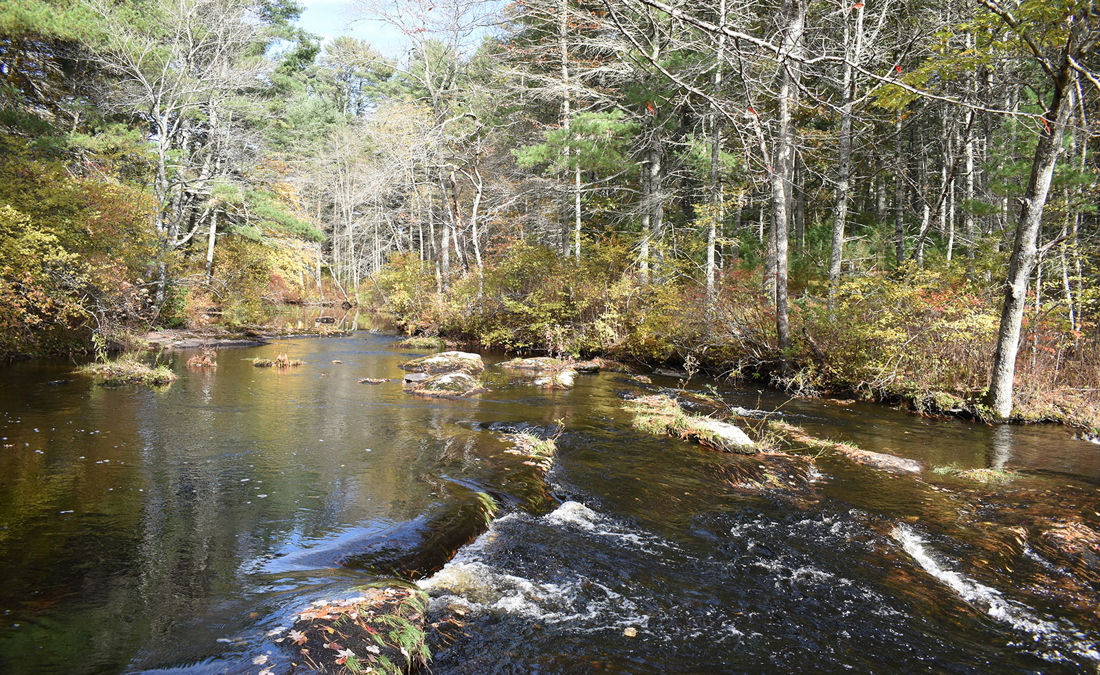
We cross a field and hike down to Spencer Rock along the North-South Trail, to what Grover called “a lovely but not exactly unknown waterfall” on the Moosup River. We leave the North-South Trail and cross the Moosup — Maylee is carried across — and follow an old cart path around the ruins that decorate the Rhode Island Department of Environmental Management property.
This “lovely, lonely, haunted stretch of forest sees very few visitors,” said Grover, as we followed trails and bushwhacked through juvenile evergreens and other non-invasive vegetation.

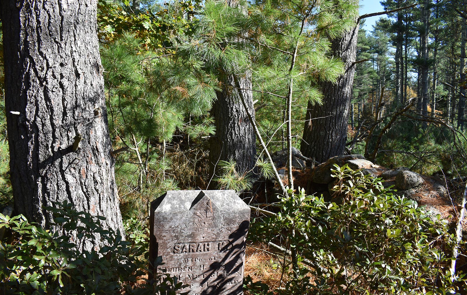
We find the overgrown family cemetery of Isaak Fiske, an ancestor of Grover’s, and several neglected gravestones. Grover, a born and raised Rhode Islander — he graduated from Cranston East High School in 1998 — said he is also a descendant of Roger Williams.
“The offbeat places are the best,” Grover said. He looks at old documents to find these hidden hiking jewels. “You look at these old maps and I’m like, ‘I know where that is,’ but there’s no road that goes from there. What kind of occurred to me is that sometimes we can’t seem to wrap our minds around that New England is an old place and there’s layers of history to it.
“We kind of know that, but sometimes we still don’t put two and two together that there used to be roads and dwellings and even little hamlets that just aren’t there anymore. I started thinking I’m going to go out and look for that, and sure enough I found out that when you see some old path, road, or ox cart path drift away on an old map and you go out in the woods, they’re there, or at least evidence of them is. It’s a huge thrill.”
He also noted that rush of excitement is frequently ruined by the careless action of others. He said both the offbeat hikes and the more well-known ones are often left punished by all-terrain vehicles and defaced by Mylar balloons, nips, plastic water bottles, and other trash.

We hike back to the Moosup River crossing and take a dirt path back to the car. It hasn’t been towed or ticketed.
Besides Fiske Farm, three other hikes place high on Grover’s list of special places. Here is a brief look at those courtesy of Grover:
Ponagansett hike in Foster: “The trailhead is at the Hayfield property on Winsor Road. This hike is mostly land trust and state property. Lovely views of the Ponaganset River, tumbling waterfalls, and very cool cellar holes and cemeteries. Definitely one of my special spots. The Ponaganset lands were some of the last acquired when DEM had a robust land acquisition program.”
Welch Hollow Road in Coventry: “I love this old, abandoned road. Makes the case that “old ways” can be special spots and are just as worthy of preservation as houses and land. Welch Hollow Road begins at Newport Road in western Coventry. This forest is very seldom visited and is quite quiet and lovely. There are old foundations and walls taken over by swamp that kind of remind me of castle and moat ruins I saw in Scotland. You may see the occasional car, but these lovely dirt roads are just as nice to walk on as trails.”
Killingly Pond Management Area in Glocester: “Beautiful old roads with stone walls and cemeteries, and the forest has a northern New England feel. I love the “troll bridge” where Old Killingly Road crosses Mowry Meadow. The dread Pirate Hicks once hid out here and robbed lumbering ox-driven carts as they crossed.”
Grover said exploring Rhode Island’s green spaces and learning about their rich histories makes us better stewards of these special places. “We fall in love,” he said.
This story is part of our “Special Places” series. Read other stories in this series.


Great article. It’s always great for people to explore Rhode Island Green spaces and become stewards of these places. I am the organizer of the Rhode Island Hiking Club . Since 2009 myself and fellow organizer have been leading hikes showing members what our great state has to offer. It’s our passion.
We do this at no charge. I would also like to mention the (AMC ) Applchian Mountain Club Narragansett Chapter which I am a member of the trail committee. We worked with RI Dem on maintaining trails on state management areas. Arcadia being our main focus. We are always looking for volunteers to help with this work across the state . Keep us mind.
Happy Trails
Take a Hike,
Tony
Rhode Island Hiking Club
AMC Narragansett Chapter Trails Committee